GeoSpy ai
Analyze geographical data using AI for actionable geospatial intelligence
Analyzes geographical data via AI
Supports decisions on environmental and urban changes
Integrates diverse geospatial data sources
Pricing:
Features:
Categories:
#Data & Research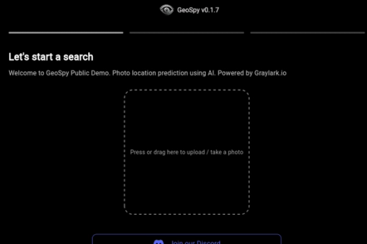
What is GeoSpy ai
GeoSpy ai is a geospatial intelligence platform that leverages AI to analyze and interpret geographical data. It provides insights into environmental changes, urban development, and other spatial phenomena to support decision-making processes for businesses and governments. The platform integrates diverse data sources and employs advanced algorithms to offer accurate and actionable intelligence.
Key Features of GeoSpy ai
- User-Friendly Interface: Designed for ease of use, making it accessible even for beginners.
- Customizable Features: Offers a range of settings to tailor the tool to specific user needs.
- Cross-Platform Compatibility: Functions seamlessly on various operating systems and devices.
- Robust Security: Implements high-level security protocols to protect user data and privacy.
- Real-Time Analytics: Provides immediate insights and analytics to inform decisions.
- Integration Capabilities: Easily integrates with other software and tools for enhanced functionality.
- Scalable Solutions: Adaptable to both small-scale and large-scale projects.
GeoSpy ai
Analyze geographical data using AI for actionable geospatial intelligence
Key Features
Links
Visit GeoSpy aiProduct Embed
Subscribe to our Newsletter
Get the latest updates directly to your inbox.
Share This Tool
Related Tools


Allow cookies
This website uses cookies to enhance the user experience and for essential analytics purposes. By continuing to use the site, you agree to our use of cookies.